by Stephanie Ip/Vancouver Sun/Special to the Langley Advance
Uber is banking on a future in B.C. by doing its research and upgrading its maps of Metro Vancouver.
Beginning Thursday, the ride-hailing tech company will send 25 vehicles out on the road to collect mapping imagery for its app in anticipation of the service’s eventual launch on Canada’s West Coast. The cars will not be doing pickups and drop-offs, and are for collecting mapping information.
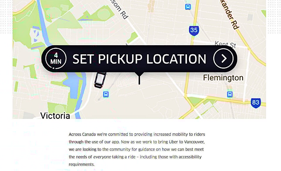
Data collected here will be used to enhance maps and offer more precise pickup and drop-off locations, and is part of a Canada-wide mapping project that began last year.
Ramit Kar, Uber’s general manager for Western Canada, called the operation “a significant investment.”
The company has been improving its Canadian maps for the past year and given that all three B.C. political parties said they were in favour of allowing Uber to operate in the province before the end of 2017, it only made sense to include Metro Vancouver and elsewhere in the project, he said.
“We’re hopeful they follow through on that,” he said. “The big thing here is we’re trying to make our product better and put our best foot forward.”
When Uber first rolled out in the United States seven years ago, they were reliant on third-party data. Since they’ve started running their own tracking vehicles — the Canadian project started with Edmonton last year — “The quality of the data has been so much better,” Kar said.
They do have partnerships with companies like Google in their mapping, but “it’s not exactly optimized for our purposes,” said Kar.
Uber will determine which are the best routes between commonly visited spots, where the best pickup spots are, where the actual entrances to buildings are, things like that. It’s about eliminating what Kar called “artifacts of data.”
“It’s really to help both on the driver and on the rider side,” he added. “It gets rid of a whole layer of frustration.”
While mobile maps and GPS information can match drivers with riders and determine driving directions, more information about traffic patterns, building entrances, and pickup and drop-off points is needed before the service launches in B.C.
“The ongoing need for maps tailored to the Uber experience is why we’re doubling down on our investment in mapping,” Manik Gupta, head of maps at Uber said in a statement.
“Over the past decade mapping innovation has changed our daily life. That progress will only accelerate in the coming years especially with technologies like self-driving cars.”
Having Uber’s cars on the road is good advertising, too, Kar admitted.
“It’s going to be a great opportunity for British Columbians to see Uber on the road,” he said. “They’ll think, ‘oh that’s Uber, that’s pretty cool.’”
— With a file from Patrick Johnston