Langley Township is increasing its surveillance of local dikes as the level of the Fraser River has begun rising rapidly, with a lot of snow still left to melt in the mountains of the Interior.
A high streamflow advisory was issued for the Lower Fraser River by the province on Thursday.
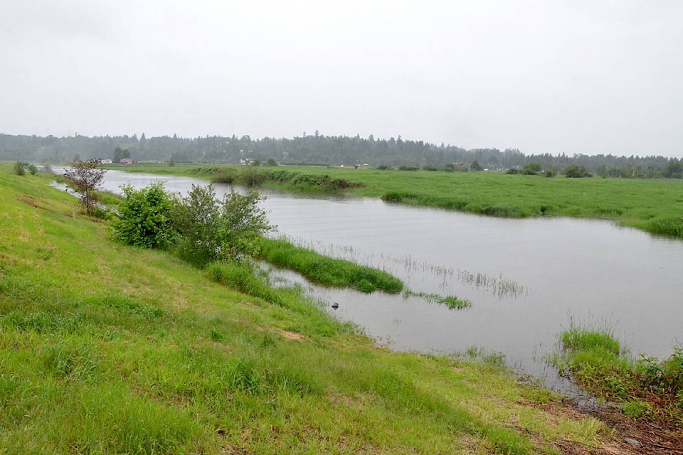
“It’s just starting to come up,” said Aaron Ruhl, the manager of engineering operations for the Township.
On Thursday, June 9, the Fraser River reached five meters at the Mission Gauge, the main gauge used for this stretch of the river.
At that level, the Township starts weekly dike inspections. At 5.5 meters – which is expected to happen as early as this weekend, June 11-12 – that goes to daily inspections. Trails at the boat launch in Fort Langley are likely to be closed down as they become flooded in low-lying areas, and parts of Glen Valley, particularly some fields, will see some localized flooding.
There are already a few local closures on the river, as Metro Vancouver has closed off parts of Brae Island’s trail networks, and overnight camping has been suspended at Edgewater Bar in Derby Reach Regional Park.
READ MORE: High streamflow advisory for B.C.’s Lower Fraser River, snowpack remains high
READ ALSO: Forecast Centre says river in Northeast B.C. could surge to flood conditions
Provincially, WorkSafe BC was among the agencies advising for increased preparedness.
“The most important thing that an employer can do is be prepared,” said Al Johnson, head of prevention services at WorkSafeBC. “With the elevated risk of flooding across the province, it is essential that employers do a risk assessment and have an emergency response plan that includes flood risks.”
There is also a flood advisory in effect as of Thursday in the Township, Ruhl said.
However, the Township and the Fraser Valley in general has seen river levels hit this height several times in recent years.
In 2012, the river reached a peak of 6.37 meters at the Mission Gauge. That caused some roads near the river to be flooded out, many fields were waterlogged, and there were even fears that derelict boats docked near Mission could have been torn loose from their moorings.
A few properties in Glen Valley were pre-emptively evacuated, but fortunately the waters receded without doing major damage.
In that year, and in several since then, there have also been efforts to sandbag vulnerable homes and buildings near the river, including at the Katzie and Kwantlen First Nation reserves in Langley.
Ruhl noted that sand and sandbags are available for free to locals at the Langley Township Operations Centre, at 4700 224 St.
The Township is also meeting with other levels of government, and if the waters keep rising, will open an Emergency Operations Centre.
There are fears that possible flooding could hit sometime this June because of the extremely cool and damp spring, which deposited large snowpacks late in the season on parts of the Interior. That snow is now finally melting, and pouring into the Fraser River and its tributaries.
Have a story tip? Email: matthew.claxton@langleyadvancetimes.com
Like us on Facebook and follow us on Twitter.