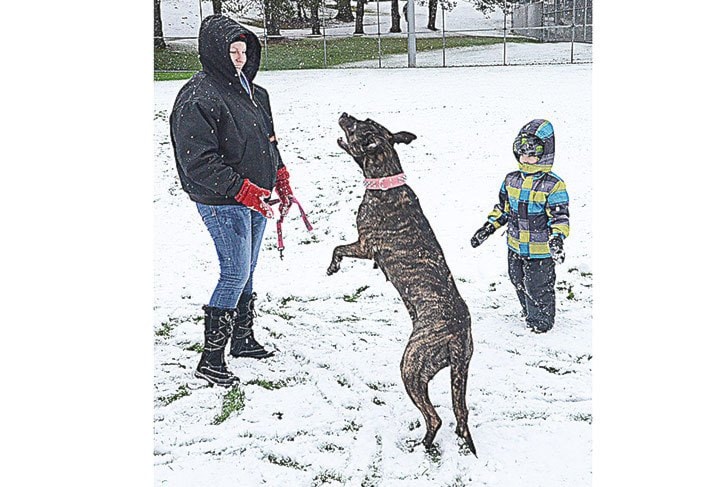
The federal government is warning of an unwelcome seasonal mix – strong winds, cold temperatures and moisture from the Pacific Ocean.
And it's going to hit Thursday.
Here's the statement:
3:37 PM PST Tuesday 06 December 2016
Special weather statement in effect for:
- Fraser Valley - east including Chilliwack
- Fraser Valley - west including Abbotsford
More snow on the way for the South Coast and Vancouver Island...
An intense Pacific storm will reach the South Coast and Vancouver Island Thursday afternoon. With the cold air already in place, this system will likely bring significant snowfall to the South Coast from late Thursday afternoon through to Friday morning. Strong winds are also expected with this storm.
By late Friday morning there is the potential for the snow at low elevations near the water to change over to rain, however areas at higher elevations or inland will remain as snow. Mixed precipitation is expected to continue through the weekend although the amounts will be less than Thursday night.
With no significant warming trend in sight, the new snow will likely remain on the ground for several days.
As the storm details more become clear, this special weather statement will be updated and may be upgraded to a weather warning
Please continue to monitor alerts and forecasts issued by Environment Canada. To report severe weather, send an email to ec.tempetepacifique-pacificstorm.ec@canada.ca or tweet reports to #BCStorm.
