The campground at Derby Reach park in Fort Langley remained closed Monday because of concern the rain-swollen Fraser River might flood low-lying areas.
Derby Reach was shut down to overnight camping on Wednesday (July 13) and a pedestrian bridge to an off-leash dog area in the park was also closed after water started edging over the river banks.
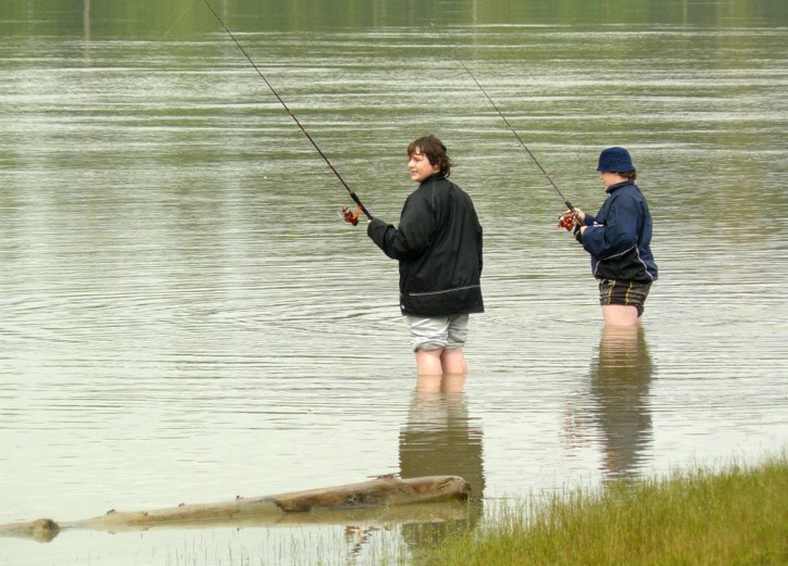
Day visitors were still allowed.
Elsewhere, Brae Island Fort Camping, which is located on higher ground, was not affected by the rising river levels and remained open.
The BC River Forecast Centre issued a “high streamflow advisory” for the Lower Fraser River last week, blaming the rising levels on heavy rain and melting snow from bigger than usual accumulations in the mountains upstream.
Flooding was reported in some areas upriver and homes in one Prince George neighbourhood were briefly evacuated.
River levels peaked Thursday, then began to subside.
The streamflow advisory was lifted Friday.
The forecast centre issued a written advisory that said the risk of flooding has declined, but the high water levels continue to pose a hazard for low-lying areas that are not protected by dikes.
Channel and bank erosion is also a concern, the centre said.
It described the high water levels as unusual for this time of year.
"Typically the Fraser River reaches peak levels in the middle of June, so peak flows at this time of year are a month later than normal," the centre said.
The Fraser River has been running at above average levels nearly continuously for the last six weeks.
More unsettled wet weather is expected and river levels were forecast to rise again later this week, but not as high as they were last week.
In response to the rising water, Langley Township municipal crews increased the frequency of dike inspections from weekly to daily at three locations.
When levels dropped, the crews went back to weekly checks.
Current streamflow information is available from the River Forecast Centre at http://bcrfc.env.gov.bc.ca/.
